35+
Years Combined Experience
About Us
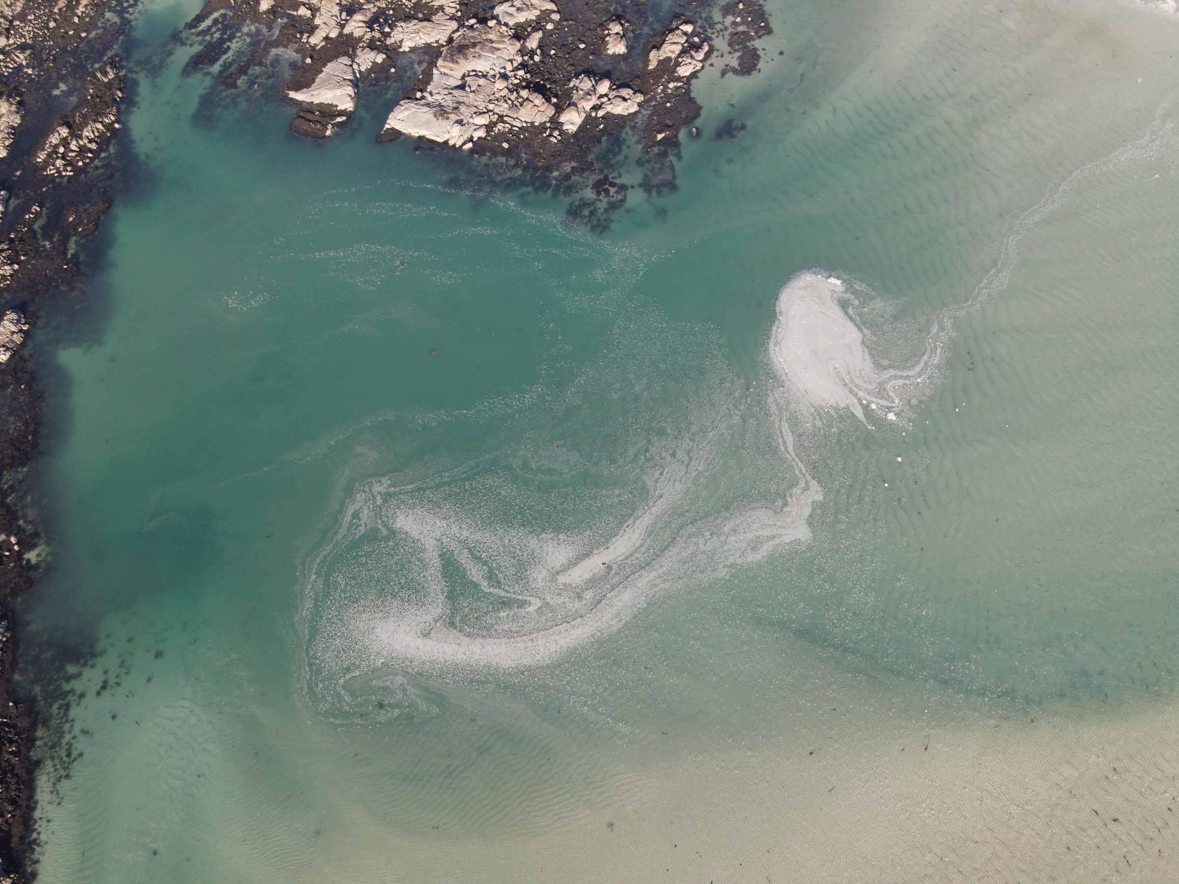
Louisiana's Premier Aerial Services Provider
Gulf South Aerial Services is a Louisiana-based provider of professional drone and aerial photography services. With 9 years of drone operations experience and 26 years as a professional photographer with the LSU AgCenter, we combine technical expertise with creative vision.
Our 8-drone fleet includes thermal, cinematic, and mapping systems serving the entire Gulf South region from Florida to Texas, Memphis to the Gulf Coast.
FAA Certified Instructor
Thermal Imaging Capable
Precision Mapping Systems
Regional Gulf South Coverage